Les étangs du Doustre
Natural, Walking
in Montaignac-Saint-Hippolyte
16.7
km
on foot
4h 30min
Easy
-
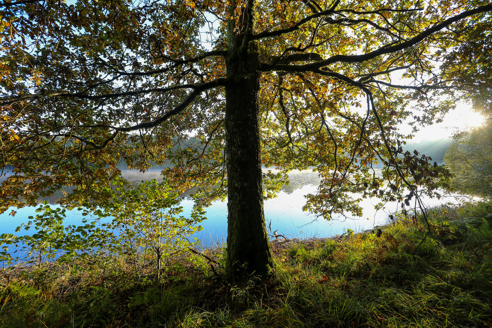
The hamlet of Montaignac-St Hippolyte is home to a large number of peat ponds, some of which feed into the Doustre river. A nesting site or migratory stopover for wild birds, a food reserve for otters or a fishing pleasure for young and old alike, the ponds of the Doustre invite you to the water's edge.
- Departure
- Montaignac-Saint-Hippolyte
-
-
Difference in height
- 261.667 m
-
-
-
Documentation
- GPX / KML files allow you to export the trail of your hike to your GPS (or other navigation tool)
-
- See all reviews
- 262 meters of difference in height
-
- Maximum altitude : 641 m
- Minimum altitude : 541 m
- Total positive elevation : 262 m
- Total negative elevation : -263 m
- Max positive elevation : 53 m
- Min positive elevation : -66 m